A Virtual History Tour of Marple and District
With The Marple Website and Marple Local History Society
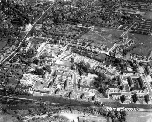
| Home > Buildings and Street Scenes > Marple > Marple from the Air |
| Can your business or organisation help support this site too? |
 |
FILE 14/15 |  |
 |
 |
 |
|
|||
|
 |
||||||||
|
||||||||
|


| Rate this file (Current rating : 4.5 / 5 with 2 votes) | |||||
